VFR Navigation and Maps
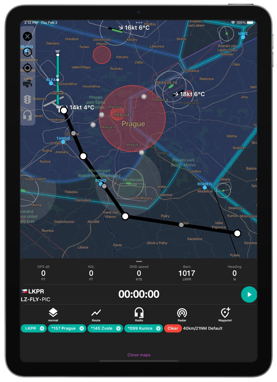
FLYLOG navigation is loaded with following features
- Worldwide VFR maps
- Flight route planning
- Radio frequencies for Airports and Airspaces
- Runways
- Interactive graphical NOTAMs
- METARs
- Airspace Use Plans (AUP)
- Airport charts for selected countries
- Terrain data for virtual radar
- Above Ground Level Indicator (AGL)
FLYLOG with VFR maps is the complete solution for VFR pilots. All tools you need for your day-to-day operations in ONE application.